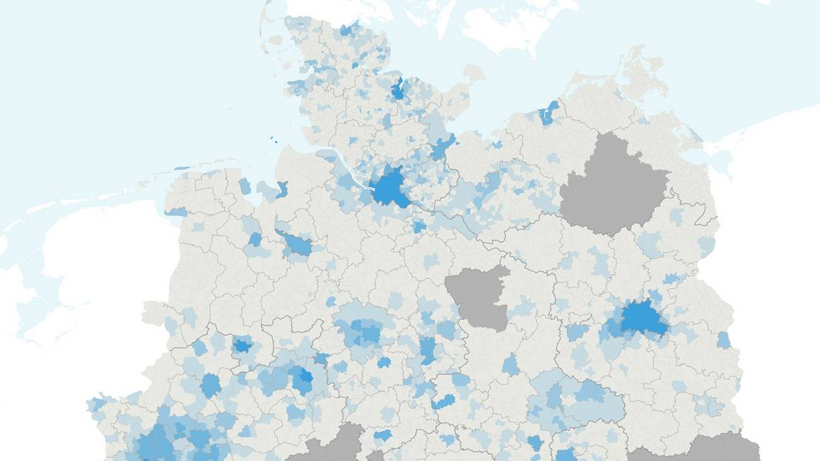
Only one third of the population in Germany is well served by bus and rail. Around a quarter have practically no connection to public transport, as the transit map of Germany shows. The interactive map illustrates how often a bus or train departs - in relation to the area, the number of inhabitants and separately for long-distance trains. This is because the density of departures is a decisive factor in how often people use public transport.
Germany needs a committed debate on the quality and expansion of public transport. The Transit Map of Germany provides a basis for this debate, with factual and easy-to-understand information. For this purpose, the current timetable data of almost all transport companies in Germany were evaluated. Around 33 million current information on bus and train departures were included in the analysis.